
Map Catalogue
Visit our map gallery for printable city maps including a city map, parks and trails map, neighbourhood maps, parking, transit and land use maps.
Visit our map gallery for printable city maps including a city map, parks and trails map, neighbourhood maps, parking, transit and land use maps.
Visit WebMap - The City of Red Deer's interactive online mapping tool.
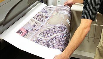
A selection of large-size maps can be printed and purchased through our Engineering department.
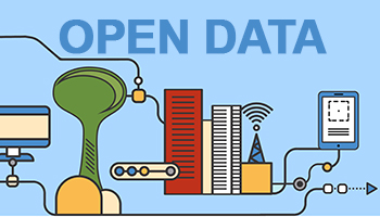
Our Open Data Catalogue provides access to City managed datasets as part of our initiative to improve the accessibility, transparency and accountability of City Government.
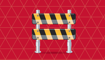
An interactive map displaying traffic disruptions and closures.